St Cyrus to Ardnamurchan Point, a Walk Across Scotland
Introduction
We came to St Cyrus 39 years ago and since that time I have walked many times around the village and near byways. Always satisfying but always the same and I fancied a change, so in 2014 I decided I would walk from St Cyrus to Ardnamurchan point, about as far as you can get in a westerly direction on the mainland of Britain. I would do the walk in easy stages as and when I could fit them in. It was never to be an epic of high peaks, Munros & bogs etc but I wanted to fit in some hills, valleys, lochs and with minor roads where necessary.
Monica my wife, was a little taken aback but quickly said that she would chauffeur me to the start of the walk each day and pick me up at the end. She clearly had in mind a few trips when she could spend these days entertaining herself and then enjoying a few nights in different country hotels when the distance became too much to return home each night.
And so on the 4th October 2014 I set out
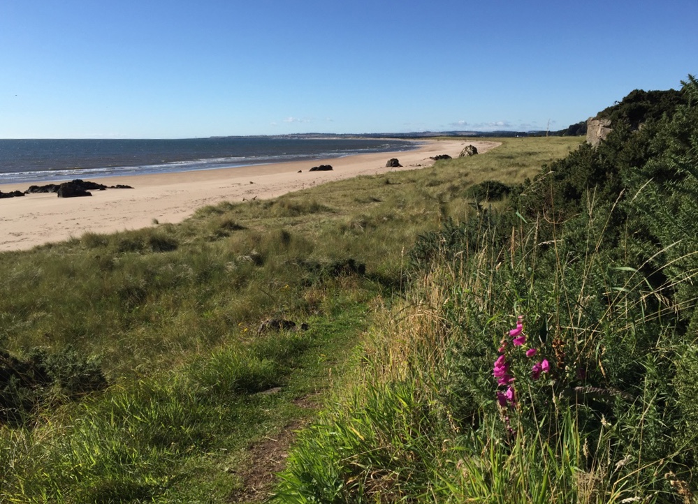
The Start, St Cyrus Beach from the cliff path
The Walk
Day 1, October 4th 2014
St Cyrus to North Craigo via Morphie and Marykirk, 5 miles (5miles total)
An easy start, a short day; I walked through the village and out on the track to Morphie and onward to Marykirk. The day was fairly non descript, dry but the earlier rain had caused flooding of the main Marykirk road and so our plan to have a pub lunch at the Marykirk Hotel was scuppered. Instead we diverted to the Hillside Hotel and Monica picked me up after I had finished that section
Day 2, 6th October 2014
North Craigo to Trinity roundabout, Brechin via Logie Pert, 5 miles (10 miles total)
Another easy day and a wet one.
Day 3, 30th November 2014
Trinity roundabout to Milden Lodge, Glen Esk, via Edzell, 10 miles (20 miles total)
Getting into my stride even though my wrist, broken earlier in the month was gnawing away still. The day was cold but dry. After Edzell I took the minor road to the west of the river Esk. The road became a track and then a path.
Day 4, 17 December 2014
Milden Lodge to Invermark car park, Glen Esk, 7.5 miles (27.5 miles total)
Crossing the river back to the (now ) southside. I walked on to Dalbrack, crossed back over the river and took the road to Invermark car park.
Day 5, 23rd December 2014
Invermark to Glen Clova Hotel via Inchgrundle, 10 miles (37.5 miles total)
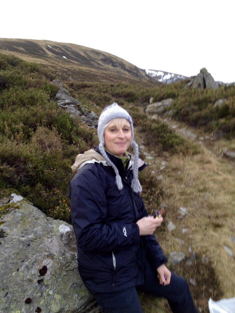
From here on the walk started to get interesting and this stretch, for me was hard. it was cold and dry, icy on the high ground with indistinct or no paths, sat nav essential, but it was one of the hill routes I really wanted to do. Jayne my daughter walked with me and found the walk easier than I. We set off as the sun rose just after 8am and walked through till dusk at 3.30 pm. Coming off the high ground and down via Loch Brandy we felt good, the photo shows Jayne as we were ready to climb from Inchgrundle.
Jayne at Inchgrundle
Day 6, 4th January 2015
Glen Clova Hotel to Glen Doll car park, 2.5 miles (40 miles total)
This was a very short little filler section, Monica came with me and we had coffee and mince pies en route.
Day 7, 13th April 2015
Jock’s Road, Glen Doll to Auchallater, 13.6 miles (53.6 miles total)
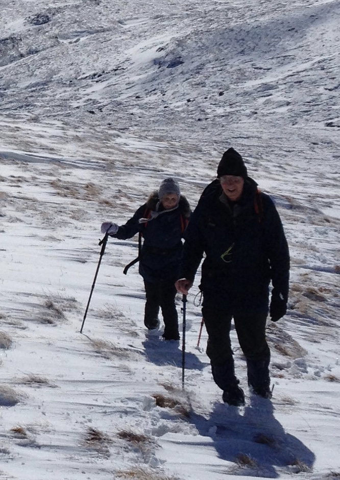
Jock’s road is an old Drover’s road and it was another route I wanted to do. Jayne and her friend, Jane came with me, they were younger and fitter than I but I was the guide. I knew we would need a good amount of daylight and hopefully good weather, that’s why we left it until April. We set off very early and arrived in Glen Doll to find it snowing and I dithered. We had coffee in the Hotel and encouraged by the ladies, we set out. The snow continued and higher up the path disappeared under 6 inches of snow. Nevertheless we continued, again sat nav was essential. Over the top the snow was icy spindrift and we had a hasty lunch break sheltering behind some rocks. The path never reappeared until we dropped down into the Lochallater valley. The going then was easy on a track. At the Lodge at the far end of the loch we passed by an official looking black Range Rover, it was blocking the track. We didn’t realize until we were at the end of the walk who’s vehicle it was, but the eagle – eyed ladies soon recognized Prince Charles driving with several of his “ heavies” with him.
Jayne and I on Jock’s road
Day 8, 14th July 2015
Auchallater to Spittal of Glenshee, 14.4 miles (68 miles total)
Dry first thing in the morning, heavy rain set in as I approached the café at the top of Glenshee. Here, Monica and I had soup and sandwiches and we met James Baxter, we didn’t know him at the time but he is a seasoned hillwalker, skier, kayaker and has written several travel books. Most interesting because he too was walking from Scotland’s east coast to Ardnamurchan Point but he was doing it in one trip, staying in bothies, tent or the occasional hotel. I stayed in touch with him, following his progress, see note at the end of this story.
Day 9, 18th August 2015
Spittal of Glenshee to Kinnaird, Pitlochry via Enochdu, 16 miles (84 miles total)
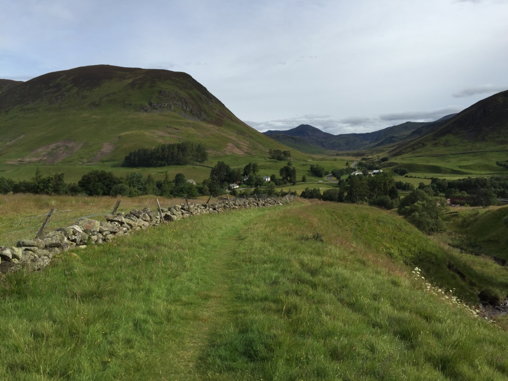
A beautiful morning followed by a very wet afternoon. A long day but good nevertheless.
Looking back towards The Spittal of Glenshee
Day 10, 14th September 2015
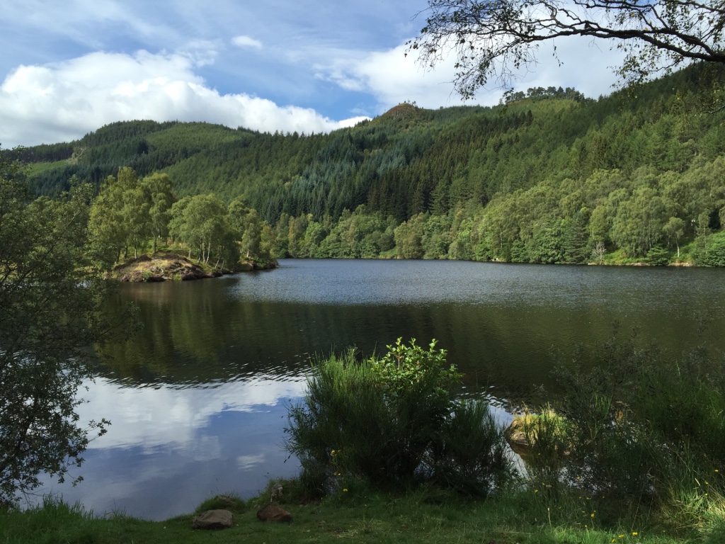
Kinnaird to Frenich, south Loch Tummel, 12.2 miles (96.2 miles total)
We were staying for 3 days in Pitlochry, the weather was good, walking on the south side of Loch Tummel
Loch Tummel
Day 11, 15th September 2015
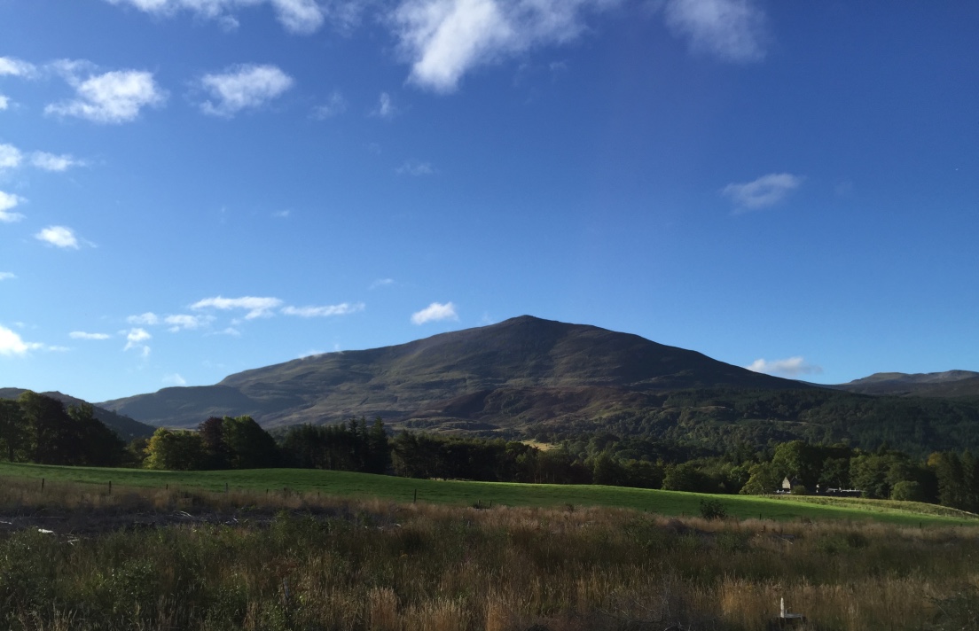
Frenich to Kinloch Rannoch via Schiehallion Road, 13.9 miles (110.1 miles total)
Another good day skirting Schiehallion.
Schiehallion
Day 12, 16th September 2015
Kinloch Rannoch to Rannoch Station via south Loch Rannoch, 17.3 miles (127.4 miles total)
This day was spectacular, sunshine and blue skies, not even a breeze. The surface of the Loch was like a mirror for the 10 or so miles I walked along it’s shore.
Loch Rannoch

Day 13, 29th September 2015
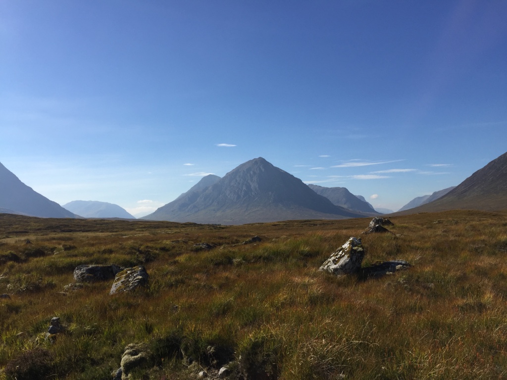
Rannoch Station to Glencoe via Rannoch Moor, 15.5 miles (142.9 miles total)
The good weather continued, I was so lucky to be able to cross the moor under these conditions. I met Monica for lunch break at The King’s House Hotel then continued to the lower end of The Devil’s Staircase in Glencoe.
Buachaille Etive Mor from Rannoch Moor
Day 14, 20th November 2015
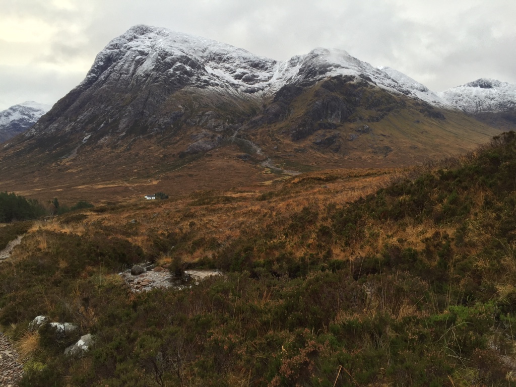
Glencoe to Loch Leven via Devil’s Staircase and Kinlochleven, 12.1 miles (155 miles total)
For late November the weather was pretty good, a little snow on the high ground, rain later on as I finished the day halfway down Loch Leven.
Buachaille Etive Mor from the Devil’s Staircase
Day 15, 21st November 2015
Loch Leven to Inversanda via Corran Ferry and Loch Linnhe, 14.6 miles (169.6 miles total)
An early start, the sun just peeping over the Glencoe Aonach Eagach ridge.
The Glencoe peaks from Loch Leven
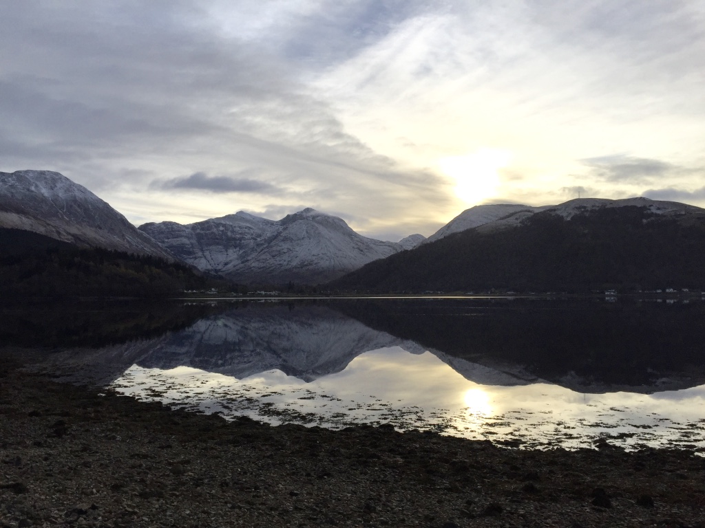
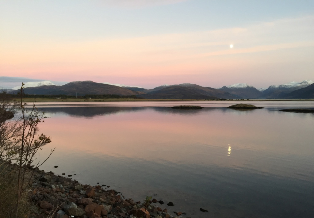
Sunset over Loch Linnhe with snow-capped Ben Nevis and Glencoe in the background
Day 16, 22nd November 2015
Inversanda to Garbh Eilean (Forestry Commision Hide) via Strontian, 14 miles (183.6 miles total)
The coastline walk on the minor road was a delight and a real surprise to us, Scotland continued to show a face we had not been lucky enough to see before. The hide is a good place to see otters, seals and many birds.
Approaching Strontian
Day 17, 23rd November 2015
Garbh Eilean to Salen, 5.9 miles (189.5 miles total)
A short extension to Day 16, just as beautiful
Day 18, 12th December 2015
Salen to Kilchoan (almost), 17.25 miles (206.75 miles total)
Yet another bright and sunny day, the walk along the coastline continued to please.
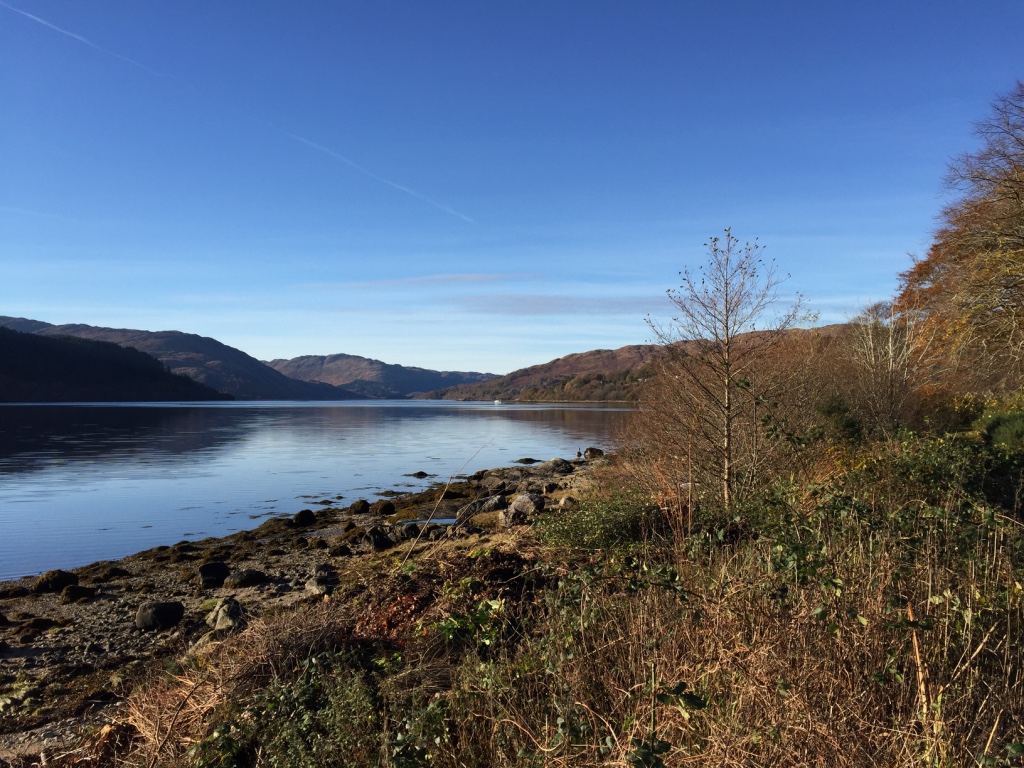
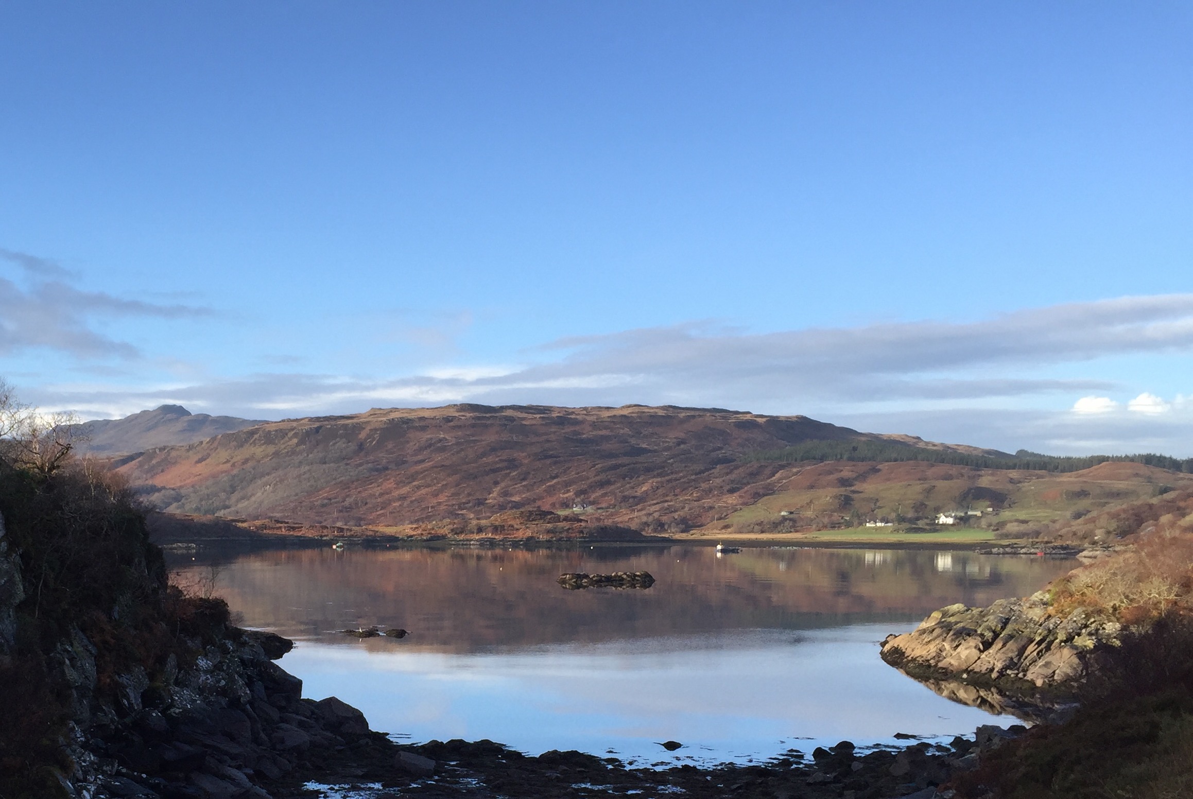
The Ardnamurchan coast from Loch Sunart
Day 19, the last, 13th December 2015
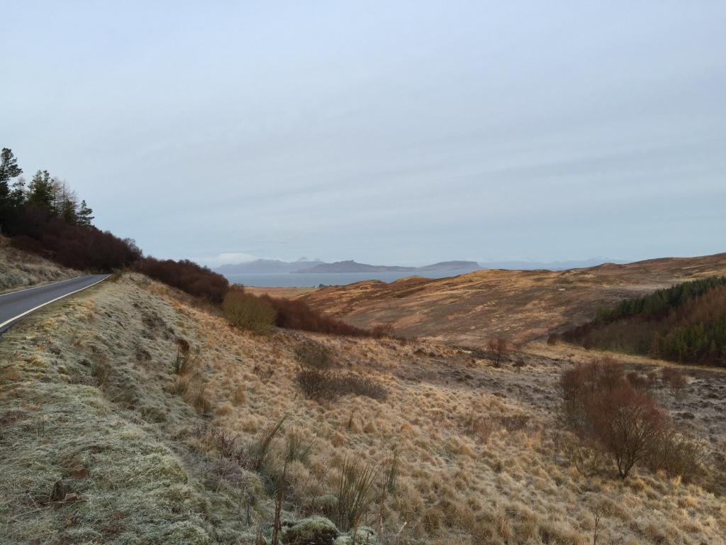
Kilchoan to Ardnamurchan Point, 7.4 miles (214.5 total)
Just a short last stretch, the scenery was much more bleak and it was very frosty
Looking northwards over Rum to Skye with he snow-capped Cuillins just showing
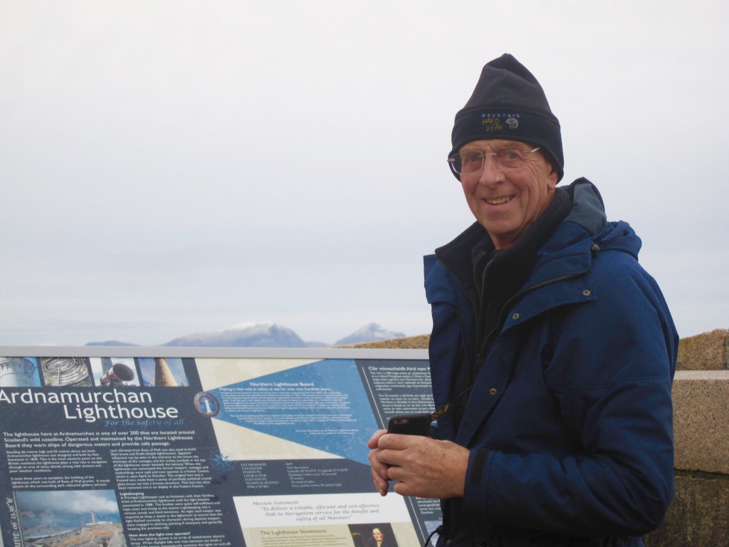
Man, do I fancy a beer!
In a Nutshell
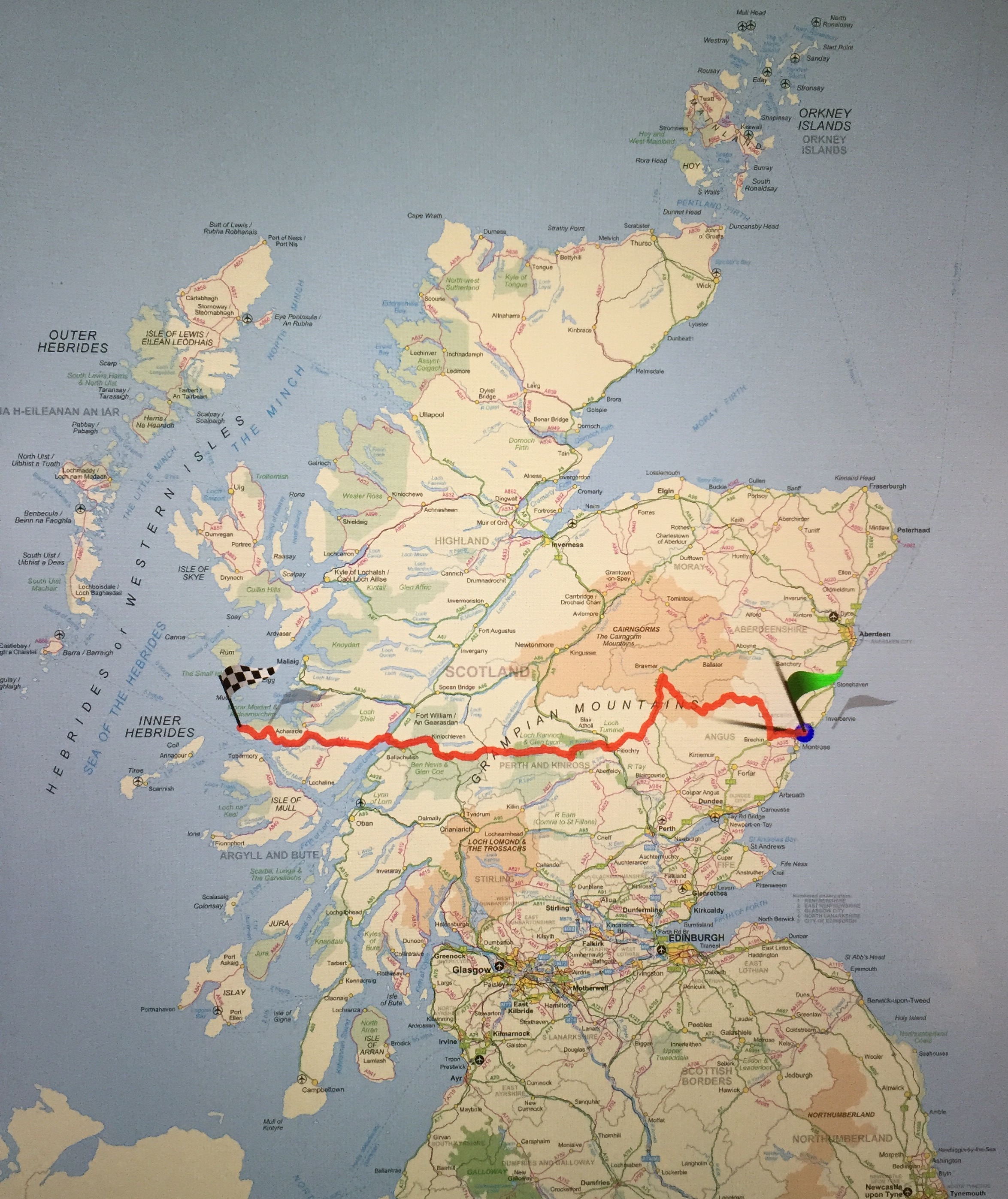
214.5 miles, 19 days walking over 15 months
Note
James Baxter let me know on the 30th July that he had reached Ardnamurchan Lighthouse. He took 19 days too but these were consecutive and there were 6 of them when it didn’t rain.